03 Understand Multi-Source Intelligence, Surveillance and Reconnaissance (ISR) Analysis and Situational Awareness Platform
Vedra
Bring the scattered images together into a single picture and turn it into a decision
It integrates data from UAVs, satellites, radar and electro-optical sources into a single operational picture. Search, assessment, analysis, AI (USTAD), tagging and secure sharing – all within a single environment.
- NATO STANAG Compliant
- CMMI Level 5
- Field-Proven
Operational picture – 4 layers
Illustrative simulation
Live video tied to the terrain – UAV-1, EO/IR, 5,500 m
01Live feed. The UAV video and telemetry data are linked to a 3D terrain model. The image now represents an area on the ground.
How It Works
How Does Vedra Work? From Raw Data to Decision in Four Steps
Multi-source data fusion involves integrating UAV video, satellite and SAR imagery, GMTI tracks, EO/IR recordings and human intelligence (HUMINT) reports into a single map on the same geographical grid.
Illustrative flow - 01 / 04
Images, video and telemetry from UAVs, satellites, radar and EO/IR sources are fed into a single platform, together with human intelligence (HUMINT) reports.
Each feature is positioned at its actual location on the 2D/3D terrain.
The analyst compares the image with other sources and the archive, and identifies the alteration; Vedra’s hotspot and route analyses help assess the finding.
The result is forwarded to the relevant command and field units in accordance with the chain of command, and is entered into a searchable archive.
Organisational memory is no accident. It is the result of architecture.
Problem
The Main Problem in ISR Analysis: Scattered and Fragmented Data
Satellite imagery appears in one system, UAV video in another, and the radar track on a separate screen. It is not data that is lacking, but ISR software that brings the data together in a single view.
Analyst
They spend their time gathering data across systems instead of making sense of the image.
Operator
They combine the live video, sensor data and map in their head; the margin of error grows.
Decision-maker
They decide on a partial picture.
Organisation
Once the task is complete, the information is lost in the archives; no organisational memory is formed.
Solution
A Single Operational Picture Through Multi-Source Data Fusion
When search, assessment, analysis, tagging and sharing all take place within a single platform, field personnel, analysts and senior leadership / decision-makers all work from the same up-to-date picture.
Product
What is Vedra? A Multi-Source ISR Analysis and Situational Awareness Platform
Vedra is an intelligence analysis platform (ISR System) compliant with NATO standards, which integrates imagery and video from UAVs, satellites, radar and electro-optical sources into a single operational picture. As a multi-source ISR analysis platform, it carries out search, assessment, analysis, tagging and sharing within a single environment.
At its core lies the image processing and deep learning infrastructure developed by MilSOFT since 2005. It operates with desktop, web and mobile client applications: the same system, in every operational environment. Access is based on the ‘Need-to-Know’ principle and role-based authorisation.
Vedra is not a general-purpose mapping application; it has been developed specifically for ISR missions
Capabilities
Vedra Capabilities: Six Core Functions, One Platform
Common Operational Picture and Geospatial ISR Analysis
The common operational picture is the single view through which the field and the commander see the same area using the same up-to-date data. Vedra presents this picture in 2D/3D; it calculates line of sight, route planning, distance and area measurements. The GIS infrastructure is PiriMap; there are no additional licence costs.
Image Analysis: SAR, EO/IR and GMTI Analysis
UAV image analysis, target tracking, photogrammetry, hotspot analysis, super-resolution, change detection and route analysis.
Search and Discovery: Geographical and Visual Queries
Search by visible area, buffer zone and at province/district/street level; filtering by date and type.
Live and Recorded UAV Video Management
Live video and telemetry displayed simultaneously on a 3D map; access to recorded flights via geographical queries.
ISR Marking and Visualisation
Task markers on videos and maps; importing and exporting projects.
Secure Coordination and ISR Sharing
Messaging, chat rooms, file and coordinate sharing; real-time target coordinates via Link 16.
The Difference
Why Vedra? Eight Distinctive Features of the Domestic ISR Platform
Platform-Independent ISR Architecture
It is not tied to a closed sensor ecosystem; new platforms and sensors can be added to the system.
Technological Sovereignty and Ownership of Source Code
The source code is owned by MilSOFT; updates are not subject to authorisation from a third country.
Transparent Cost of Ownership: No Additional Licence Required
Critical services, including the database, map server and GIS infrastructure, are hosted by MilSOFT.
Phased Deployment: From a Single Unit to Headquarters
It starts with a single unit and scales up to headquarters level; no further purchases are required.
NATO Compliance Built in Türkiye
STANAG support is the starting point for the architecture.
Protecting Existing Investment: An Integrative Approach
It does not remove the existing sensors and systems; it incorporates them into the picture.
End-to-End ISR Chain
No link in the chain from search to sharing is transferred to a second product.
Field-Proven: Active Use in the Field
It is currently in live use in the field.
Use Cases
Applications of Vedra: From UAV Intelligence to Crisis Coordination
UAV-Supported ISR Operations
Border and Area Surveillance
Target Identification and ISR Assessment
Security of Critical Facilities and Large Areas
Maritime and Coastal Surveillance
ISR and Command and Control at Headquarters Level
Disaster and Crisis Coordination
Technical
Technical Specifications and Compliance with NATO STANAG Standards
Vedra is a service-oriented, modular ISR platform developed by MilSOFT in Türkiye; it is developed in accordance with CMMI Level 5 processes.
NATO STANAG Standards: 4559, 4607, 4609 and others
Also 3596, 7023, 3277 and 3377.
Sensor and Image Formats: SAR, GMTI, EO/IR
Map and Geographical Data Formats
WMS, VFS, ECW, GeoTIFF, NITF, NSIF, DTED
Video Transmission and Tactical Data Link: Link 16
RTP, RTSP; real-time transmission of target coordinates to the tactical network via Link 16.
Who It’s For
Who is it for? From decision-makers to field staff
Decision-maker
The whole picture, not just the parts.
Intelligence analyst
It focuses on valuing rather than collecting.
Operator
Video, sensors and map all on one screen.
Field unit
The same picture on the mobile client as in the command centre.
Systems Architect / Integrator
It connects to the existing infrastructure via standard interfaces.
Procurement
Transparent costs, ownership of source code, CMMI Level 5.
Layer 03 - Understand
Related Solutions
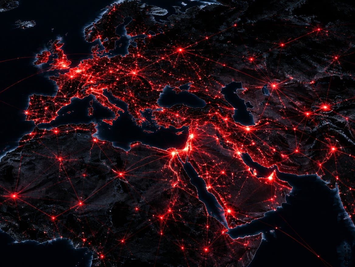 Understand Geographic Information System (GIS) Infrastructure PiriMap PiriMap is a network-supported, platform-independent Geographic Information System (GIS) solution developed for C2 and ISR systems. Explore
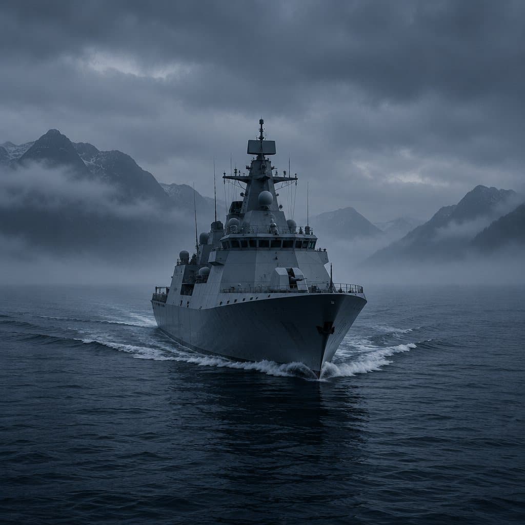 Command Combat Management System Mil-CMS A combat management system, developed entirely in Türkiye, which integrates all manned and unmanned assets across the air, land and sea domains into a single tactical picture. Explore
 Command Wide-Area Command and Control System WACCS WACCS is a web-based Wide Area Command and Control System developed by MilSOFT, which enables command centres operating in different locations to work using the same information flow, mission structure and operational view. Explore

Next Step
Vedra Demo Request or Technical Documentation
See how Vedra works with your own operational scenarios and data types.
Proof
- Field
- Active use in the field
- Standard
- NATO STANAG 4559, 4607, 4609
- Process
- CMMI Level 5
- Ownership
- Source code owned by MilSOFT